For many years prior to the technology advancements of the
current era, anglers used landmarks and a simple depth finder to help them
navigate to their honey holes. Today,
Global Positioning System’s (GPS) have given anglers the ability to return to a
specific location, within a few feet on a consistent basis! Despite the majority of anglers having this
incredible capability, there remains a tremendous under use of this technology
to get the most out of it to be a more productive fisherman!
GPS has been available for public use since the year 2000,
when the government ended the purposeful degradation of GPS which increased
precision overnight! Since then, GPS has
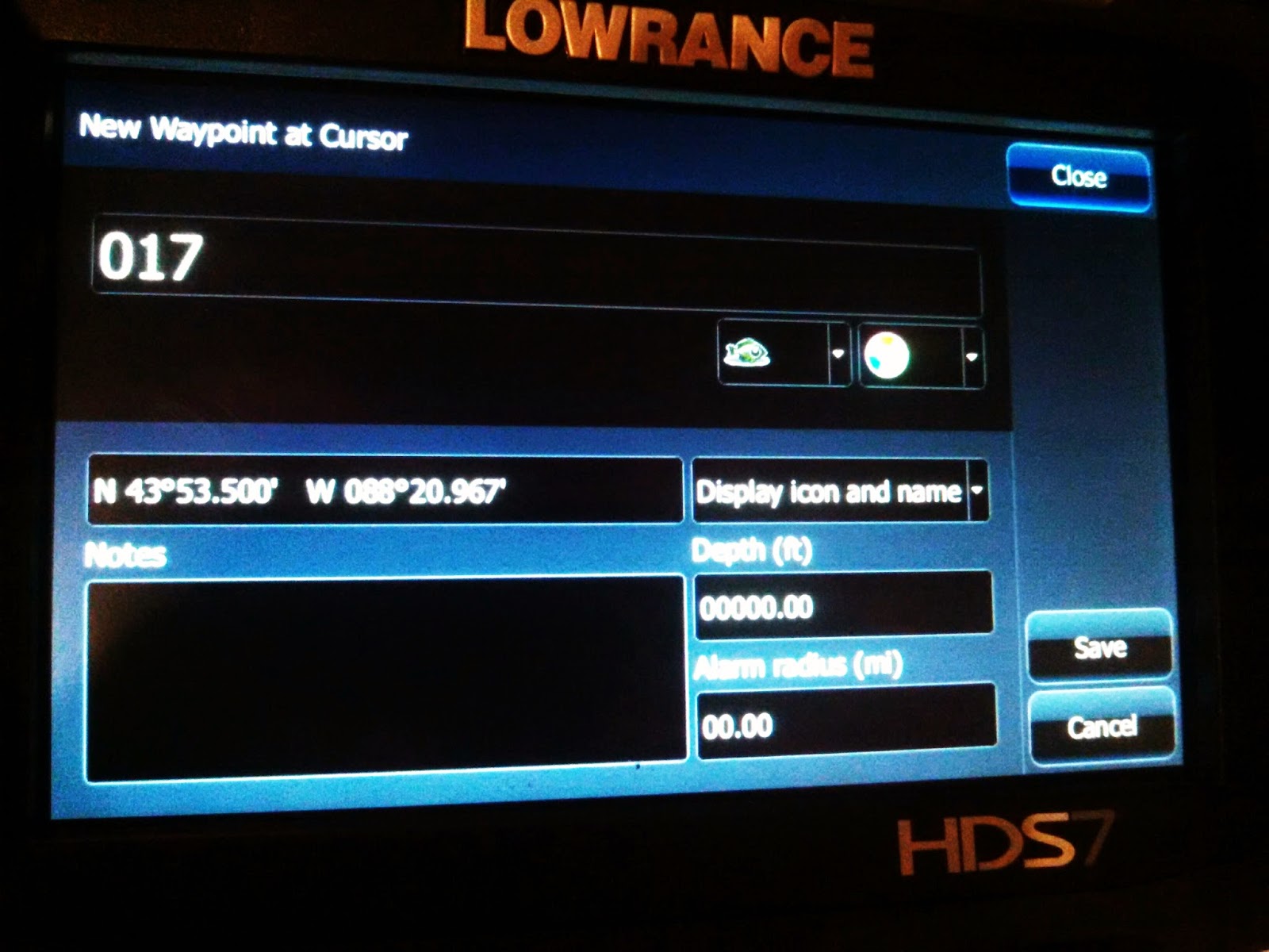
become even more precise as well as much easier to use and understand. A waypoint is simply a position with
coordinates. When you create a waypoint
on your GPS or fish finder, you are saving/marking your current location with a
symbol.
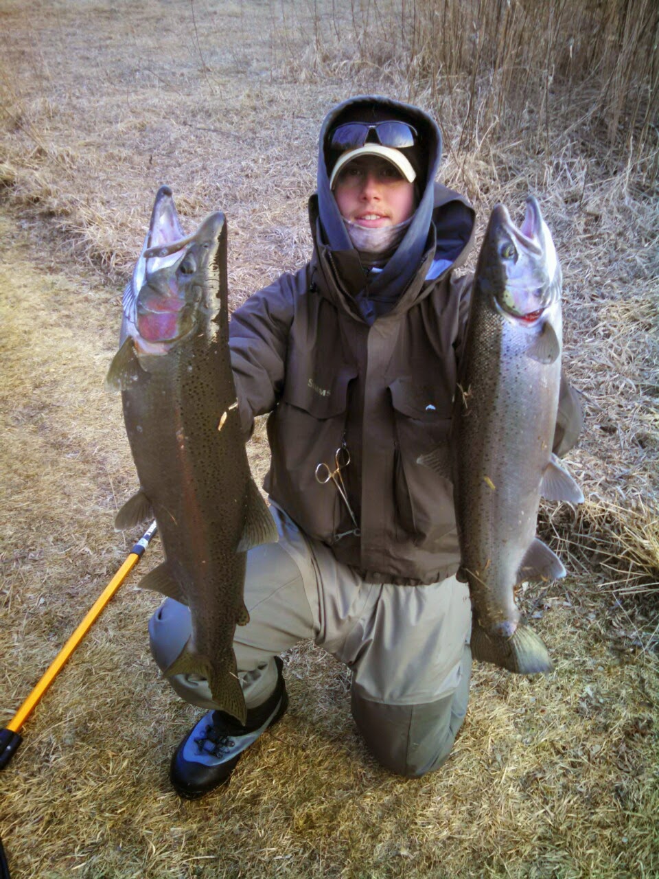
Waypoints are very valuable for fishermen, as they can be
used to mark areas where fish have been caught, drop offs, weed edges, hazards,
boat launches, etc. Waypoints can also be named and shown on your
graph with your symbol of choice. For
instance, if I catch a 29” Walleye while jigging a deep weed edge I can label
the waypoint 29 Jig and use a weed or tree symbol. When I see this waypoint in the future, I
immediately know that I caught a 29” Walleye while jigging weeds here!
On newer units, you also have the description box option
which expands when you select a waypoint.
In the description you can label the weather conditions, the lure you
caught the fish on, the water temp, etc.
All of this data can be looked at years later, which is great because it
is nearly impossible to remember what you caught each individual fish on years
later!
The actual symbols or icons you choose to use for different
waypoints are also significant. For
example, I would never use the same symbol for a good fishing spot and a
hazardous shallow rock pile. There are
many different symbol options, so make sure to pick the proper symbols for the
given situation. I try to pick a symbol
that will help me remember the actual day I entered the waypoint. For example, when trolling a structureless
mud flat, I might pick a certain symbol to use that is different from day to
day or year to year. This way, I can
quickly see where I caught fish yesterday vs. 2 years ago.
Waypoints are valuable, but like anything else, too much of
them can do more harm than good. If you
were to enter a waypoint for every fish you caught, your screen would be
cluttered and it would be hard to understand what was what. At the end of each season, it is a good idea
to go through your waypoints in areas you frequented during the past year and
trim the fat. Deleting a few waypoints
in areas where you have a high density of waypoints will allow you to fish the
area more effectively in the future since you will be able to see the depth
contours and how the waypoints relate to the structure.
 |
| Cleaned up version of fishing area after a day of fishing |
Also using symbols to mark starting points, weed edges, drop
offs etc. can help you understand the structure you are fishing better to allow
you to make the most of your trolling passes or to help position your boat
right along the break while vertical jigging.
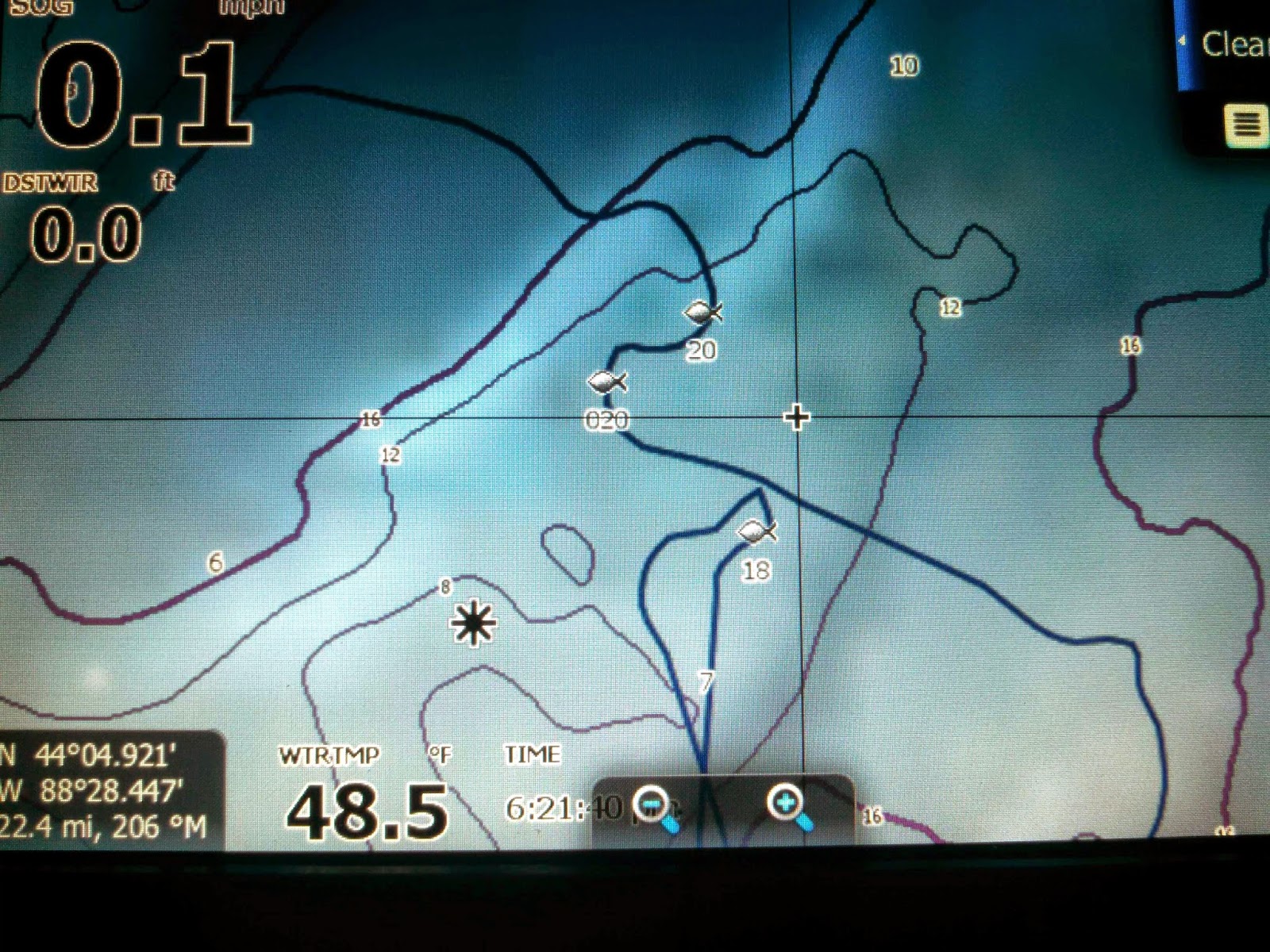
Another thing to keep in mind when marking things on your map is the difference between icons and waypoints. Icons simply take up a space on your screen, you cannot easily extract coordinate information from them or change their name. I tend to use icons to label structure like breaks, weed edges, etc. Icons are a useful tool, but aren't as detail oriented as a waypoint and should not be used if you plan on transferring that exact location in the future.
Another thing to keep in mind when marking things on your map is the difference between icons and waypoints. Icons simply take up a space on your screen, you cannot easily extract coordinate information from them or change their name. I tend to use icons to label structure like breaks, weed edges, etc. Icons are a useful tool, but aren't as detail oriented as a waypoint and should not be used if you plan on transferring that exact location in the future.
 |
| Weed Edge shown with icons, fish shown with waypoint |
Typing the proper names for your waypoints might not always
be practical while you are fishing, so it’s a good idea to spend a few minutes
after your fishing trip to go through the waypoints you entered that day and
edit them to help you in the future while the fishing trip is still fresh in
your head. I love to do this quickly while I am waiting for my fishing partner
to fetch the trailer!